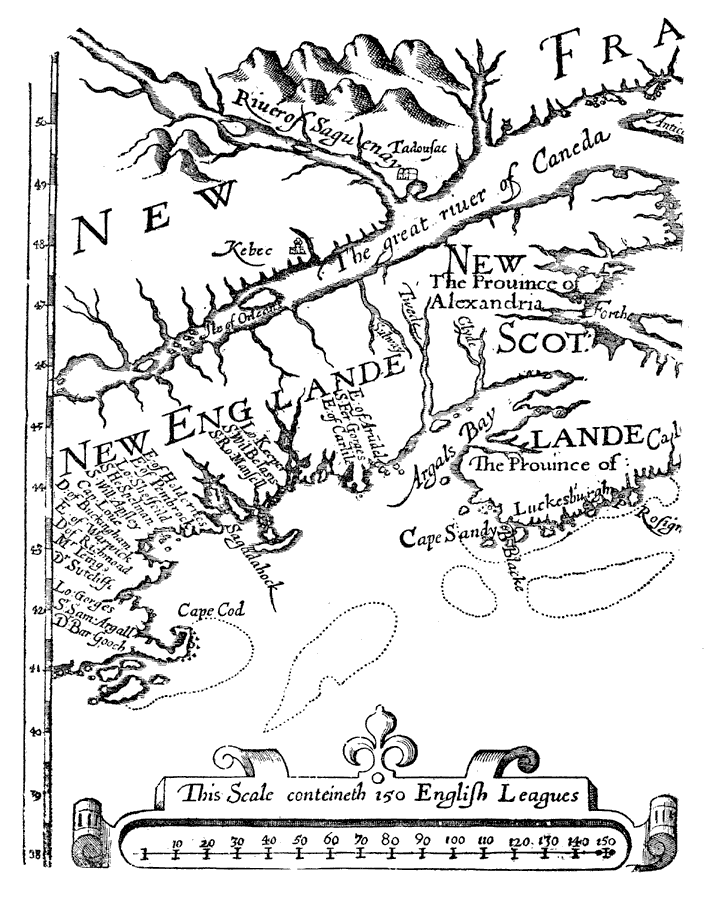
Description: Coastal New England from Cape Cod north.
Place Names: A Regional Map of North America, United States, �Canada, �New Englande, �New Scotlande, �River of Caneda, �Rivero of Saguenay, �Kebec, �Sagadahock,�Cape Cod,
ISO Topic Categories: inlandWaters,
location
Keywords: Alexander's Map, physical, physical features, inlandWaters,
location, Unknown, 1624
Source: Justin Winsor, Narrative and Critical History of America Vol. III (Boston, MA: Houghton, Mifflin and Company, 1884) 306
Map Credit: Courtesy the private collection of Roy Winkelman |
|