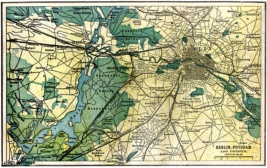
Description: A map of Berlin, Spandau, Potsdam, and the vicinity in 1903, showing cities and towns, railroads, rivers, and lakes. The map is color–coded to show urban, rural, and forested areas.
Place Names: Germany, Berlin, �Potsdam, �Lankwitz, �Malehow, �Tempelho
ISO Topic Categories: transportation,
structure,
inlandWaters,
location,
boundaries
Keywords: Berlin, Potsdam, and Vicinity, physical, �political, �transportation, physical features, local jurisdictions, roads,
railroads, transportation,
structure,
inlandWaters,
location,
boundaries, Unknown, 1903
Source: W. R. Hearst, The American Almanac, Yearbook Cycopedia and Atlas 2nd ed (Chicago, IL: Hearst's Chicago American, 1903) 441
Map Credit: Courtesy the private collection of Roy Winkelman |
|