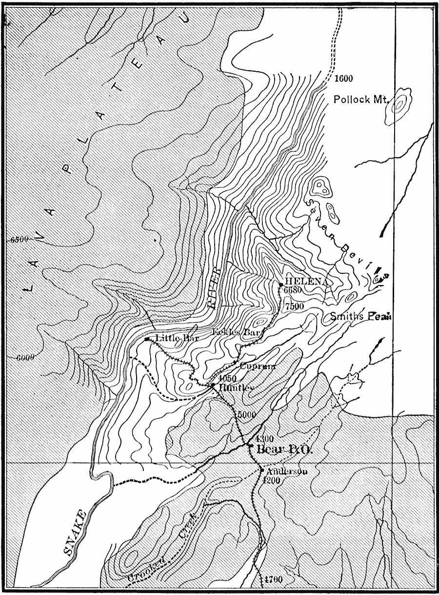
Description: A map from 1911 showing the canyon of the Snake River at the Seven Devils along the border with Oregon. The sketch contours are shown at intervals of approximately 500 feet. The cross–lined areas represent basalt–covered surface; the blank areas represent older slates, schists, etc.
Place Names: Idaho, Helena, �Little Ba
ISO Topic Categories: elevation,
inlandWaters,
location
Keywords: Canyon of the Snake River at the Seven Devils, transportation, �physical, �political, physical features, local jurisdictions, railroads, elevation,
inlandWaters,
location, Unknown, 1911
Source: Isaiah Bowman, Ph. D., Forest Physiography (New York, NY: John Wiley and Sons, 1911) 195
Map Credit: Courtesy the private collection of Roy Winkelman |
|