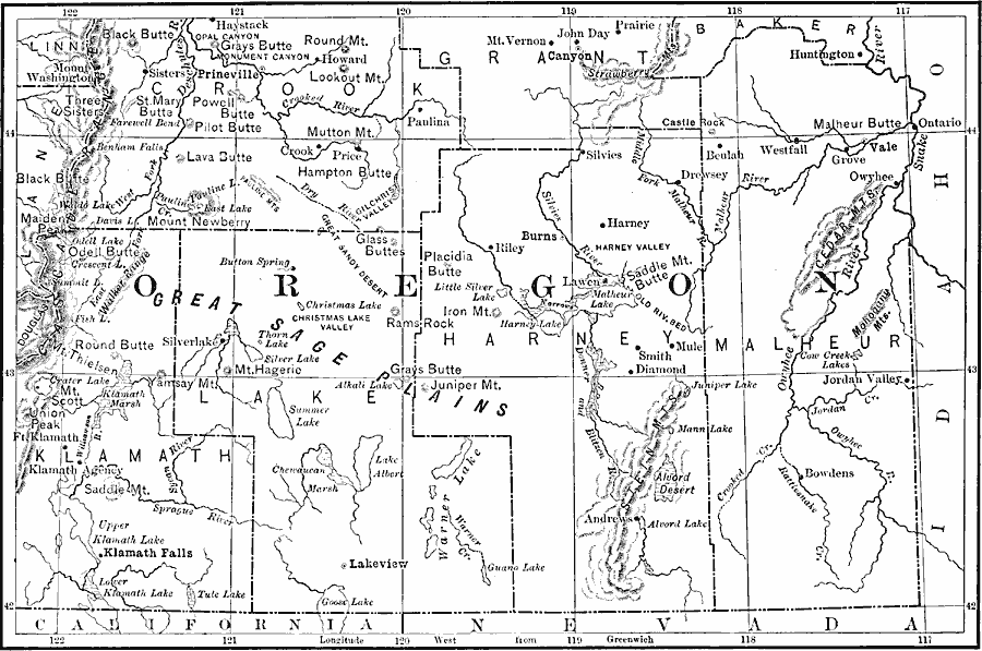
Description: A map from 1911 of southeastern Oregon showing drainage features, mountain systems, basins, lakes, and interior river systems.
Place Names: Oregon, Lakeview, �Burns, �Riley, �Westfall, �Vale, �Klamath Falls, �Prinevill
ISO Topic Categories: boundaries,
inlandWaters,
location
Keywords: Southeast Oregon Drainage Features, physical, �political, �hydrological, physical features, major political subdivisions, drainage basins, boundaries,
inlandWaters,
location, Unknown, 1911
Source: Isaiah Bowman, Ph. D., Forest Physiography (New York, NY: John Wiley and Sons, 1911)
Map Credit: Courtesy the private collection of Roy Winkelman |
|