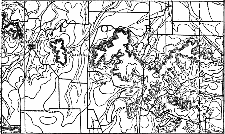
Description: A contour map from 1911 showing the summits of the Callaban Divide on the Great Plains of Texas.
Place Names: Texas, Buffalo Gap, �Cedar Gap
ISO Topic Categories: boundaries,
inlandWaters,
location,
elevation
Keywords: Callaban Divide, physical, physical features,
topographical, boundaries,
inlandWaters,
location,
elevation, Unknown, 1911
Source: Isaiah Bowman, Ph. D, Forest Physiography (New York, NY: John Wiley and Sons, 1911) 433
Map Credit: Courtesy the private collection of Roy Winkelman |
|