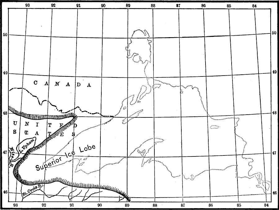
Description: A map from 1911 showing the Superior ice lake and glacial marginal Lake Duluth at its greatest extent, and the contemporary ice border during the last glacial period.
Place Names: Minnesota,
ISO Topic Categories: boundaries,
geoscientificInformation,
inlandWaters,
location
Keywords: Superior Ice Lake, physical, �political, kGlacial, physical features, country borders, boundaries,
geoscientificInformation,
inlandWaters,
location, Unknown, 1911
Source: Isaiah Bowman, Ph. D, Forest Physiography (New York, NY: John Wiley and Sons, 1911) 482
Map Credit: Courtesy the private collection of Roy Winkelman |
|