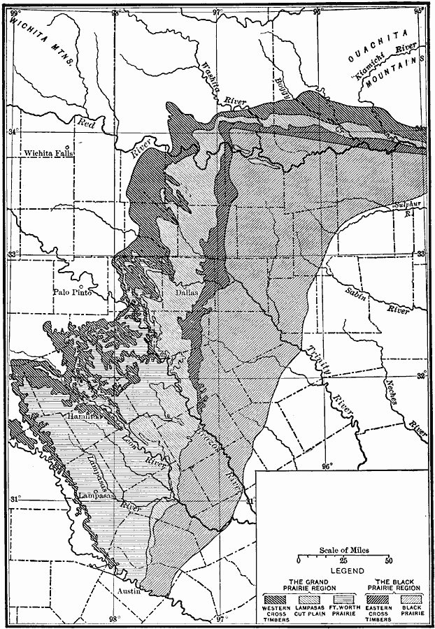
Description: A map from 1911 showing the cross timbers of Texas north of Austin. The map is keyed to show the Grand Prairie and Black Prairie regions.
Place Names: Texas, Wichita Falls, �Palo Pinto, �Leon River, �Red River, �Lampasa, �Dallas
ISO Topic Categories: biota,
boundaries,
inlandWaters,
location
Keywords: Cross Timbers of Texas, physical, �political, �statistical, physical features, county borders, vegetation, biota,
boundaries,
inlandWaters,
location, Unknown, 1911
Source: Isaiah Bowman, Ph. D, Forest Physiography (New York, NY: John Wiley and Sons, 1911) 493
Map Credit: Courtesy the private collection of Roy Winkelman |
|