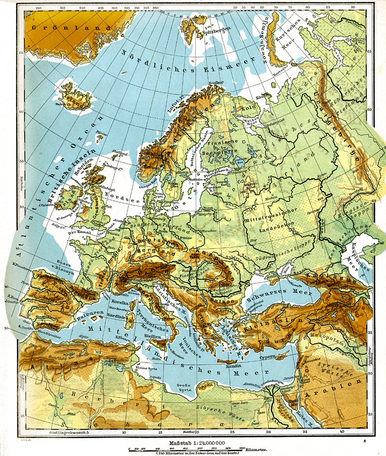
Description: Physical map of Europe showing major landforms and waterways, including the Alps, the Apennines, the Urals, the Russian Heartland, the Pyrenees, the North Sea, Mediterranean, Black Sea, and the Volga, Danube, Rhine, and Seine Rivers.
Place Names: A Complete Map of Europe, France, �Germany, �Greece, �Italy, �Portugal, �Romania, �Spain, �Sweden, �United Kingdom, �Russia, �Switzerland, �Austria-ungary, �Bosnia, �Serbia, �Bulgaria, �Denmark, �Norway, �Netherlands, �Belgium,
ISO Topic Categories: boundaries,
inlandWaters,
elevation
Keywords: Europe (Physical), physical, �physical features, boundaries,
inlandWaters,
elevation, Unknown, 1915
Source: C. Diercke, Lange-Diercke Volksschulatlas (Berlin, : George Westermann, 1915) 23
Map Credit: Courtesy the private collection of Roy Winkelman |
|