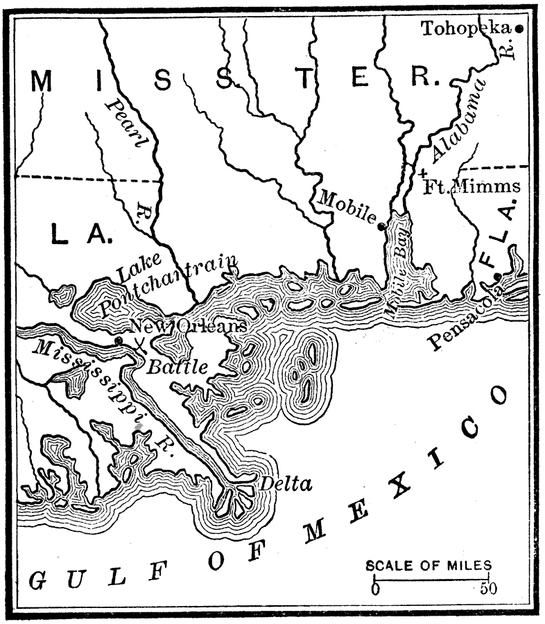
Description: A map of the southern Mississippi Territory, western Florida, and the Mississippi delta area showing the major battle sites of the Creek War in 1813–1814 (Fort Mimms and Tohopeka near the Battle of Horseshoe Bend) and New Orleans during the War of 1812.
Place Names: Growth of Nation, Florida, �Louisiana, �Mississippi, �Mobile, �New Orleans, �Pensacola, ��War of 181
ISO Topic Categories: location,
inlandWaters,
oceans,
boundaries
Keywords: War in the Southwest, historical, �location, �physical, �political, physical features, country borders, historical event,
other military, location,
inlandWaters,
oceans,
boundaries, Unknown, 1813–1815
Source: Nathaniel Wright Stephenson, An American History (Boston, MA: Ginn and Company, 1913) 284
Map Credit: Courtesy the private collection of Roy Winkelman |
|