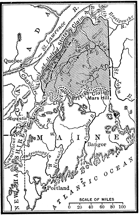
Description: A map of the disputed territory of northern Maine showing the extent of the American and British claims after the Treaty of Paris in 1783, and the boundary established by the Webster–Ashburton Treaty of 1842.
Place Names: Maine, Bangor, �Portlan
ISO Topic Categories: location,
inlandWaters,
oceans,
boundaries
Keywords: Northeast Boundary, historical, �physical, �political, physical features, major political subdivisions, historical event, location,
inlandWaters,
oceans,
boundaries, Unknown, 1783–1842
Source: Nathaniel Wright Stephenson, An American History (Boston, MA: Ginn and Company, 1913) 350
Map Credit: Courtesy the private collection of Roy Winkelman |
|