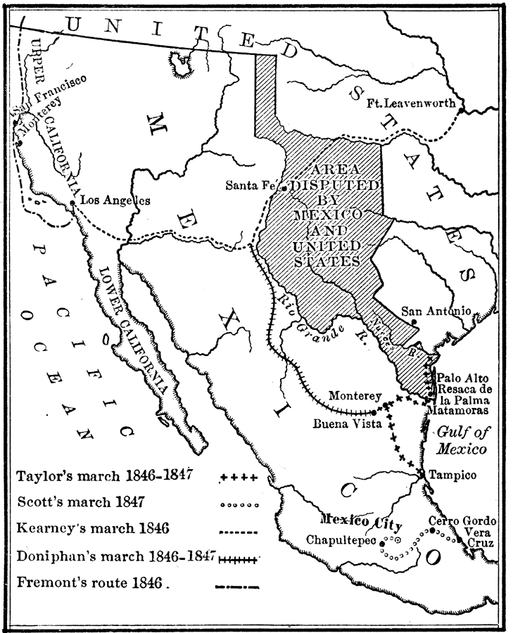
Description: The area disputed by Mexico and the United States, also showing routes taken by various generals during the Mexican War.
Place Names: A Regional Map of North America, Buena Vista, �California, �Cerro Gordo, �Los Angeles, �Mexico, �Monterey, �San Antonio, �United States, �Vera Cruz,
ISO Topic Categories: location,
inlandWaters,
oceans,
boundaries
Keywords: The Campaigns of the Mexican War, historical, �physical, �political, �transportation, physical features, major political subdivisions,
country borders, roads, historical event,
other military, location,
inlandWaters,
oceans,
boundaries, Unknown, 1846–1847
Source: Nathaniel Wright Stephenson, An American History (Boston, MA: Ginn and Company, 1913) 363
Map Credit: Courtesy the private collection of Roy Winkelman |
|