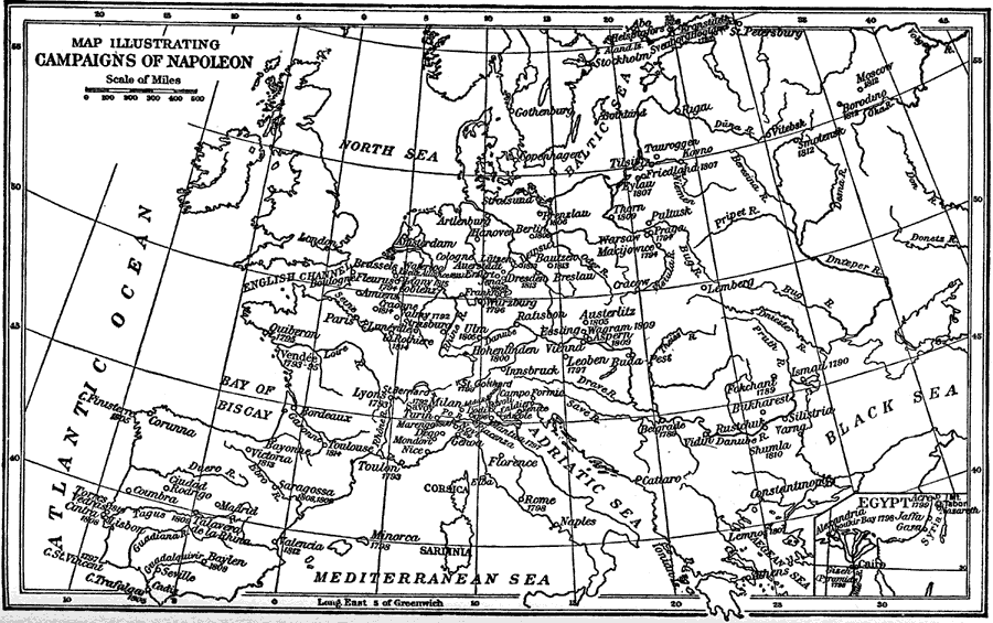
Description: A map of Europe showing major cities and sites (with dates) of conquest. This map also includes an inset of Bonaparte's Egyptian Campaign.
Place Names: A Complete Map of Europe, Cape Trafalgar, �Cintra, �Saragossa, �Toulouse, �Waterloo, �Thorn, �Moscow, �Cairo, �Rome, �Toulon, �Ulm, �Austerlitz, �Berli
ISO Topic Categories: boundaries,
inlandWaters,
oceans,
society
Keywords: Map Illustrating Campaigns of Napoleon, physical, �historical, physical features, historical event, boundaries,
inlandWaters,
oceans,
society, Unknown, 1793–1815
Source: Charles Downer Hazen, The French Revolution and Napoleon (New York, NY: Henry Holt and Company, 1917) 364
Map Credit: Courtesy the private collection of Roy Winkelman |
|