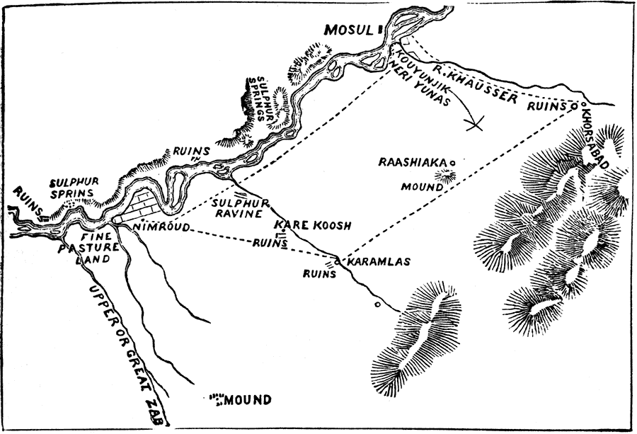
Description: "Nineveh, or Ninus, a very ancient and famous city, the cap. of the great Assyrian Empire, said in Scripture to have been founded by Ninus or Nimrod. It was situated on the E. bank of the Tigris, opposite to the present Mosul. According to the accounts of the classic writers the city was of vast extent, 480 stadia, or more than 60 m. in circumference. Its walls were 100 ft. h., broad enough for three chariots, and furnished with 1,500 towers, each 200 ft. in h. In the Book of Jonah it is described as an 'exceeding great city of three days' journey,' and one 'wherein are more than six score thousand persons that cannot discern between their right hand and their left hand.' After having been for many c. the seat of empire, it was taken, after siege of several yrs., and destroyed by the united armies of the Medes, under Cyaxares, and the Babylonians, under Nabopolassar, about 625 B.C. When Herodotus, not quite 200 yrs. Afterward, and Xenophon, visited the spot there remained only ruins. The site of N. is thought to be the modern Nimroud." — W. H. DePuy, 1881
Place Names: Iraq, Mosul, �Nimroud, �Kare Koosh, �Karamalas, �Tigris Rive
ISO Topic Categories: farming,
boundaries,
society
Keywords: Topography of Nineveh and Vicinity, physical, �transportation, �historical, physical features,
topographical, roads, farming,
boundaries,
society, Unknown, 1881
Source: W. H. DePuy, People's Cyclopedia of Universal Knowledge: V.2 (New York, NY: Phillips & Hunt, 1881) 1247
Map Credit: Courtesy the private collection of Roy Winkelman |
|