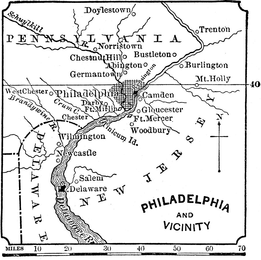
Description: A map from 1881 of Philadelphia and vicinity, including parts of New Jersey and Delaware, showing neighboring cities and towns, forts, and rivers.
Place Names: Pennsylvania, Philadelphia, �Schuylkill River, �Delaware River, �Norristown, �Chestnut Hill,
ISO Topic Categories: inlandWaters,
society
Keywords: Philadelphia and Vicinity, physical, �political, �historical, major political subdivisions, American Revolution, inlandWaters,
society, Unknown, 1881
Source: W. H. DePuy, People's Cyclopedia of Universal Knowledge: V.2 (New York, NY: Phillips & Hunt, 1881) 1488
Map Credit: Courtesy the private collection of Roy Winkelman |
|