|
|
|
| Maps > Asia > India |
Historic and contemporary maps of India, including political and physical maps, pre-colonial and colonial maps, climate maps, and battle plans.
|
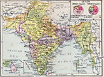
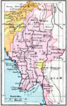
Indian Empire,
1920 |
|
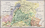
Indian Empire — Northwestern Portion,
1920 |
|
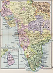
Indian Empire — Western Portion,
1920 |
|
Indian Empire — Central Portion,
1920 |
|
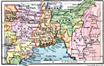
Indian Empire — Eastern Portion,
1920 |
|
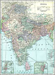
India,
1920 |
|
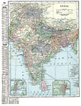
India,
1920 |
|
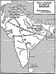
The Rise of Buddhism,
500–227 BC |
|
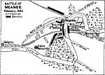
Battle of Meanee,
February 17, 1843 |
|
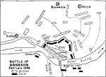
Battle of Sobraon,
February 1846 |
| First | Previous | Next | Last |
| Maps > Asia > India |
Maps ETC is a part of the Educational Technology Clearinghouse
Produced by the Florida Center for Instructional Technology © 2009
College of Education, University of South Florida