Maps Site map
  Maps > Europe > Italy
Site Map  

  Record   41   to   50  of   101

Historic and contemporary maps of Italy, including political and physical maps, early empires, WWI, city plans, and battle plans.
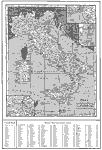
Rome, 1917
Rome in 1917....

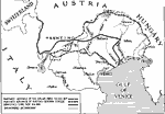
Advances in Northern Italy, 1917–1918
A map showing the farthest advances of the Italian and Austro–German armies during WWI, and the armistice line. ...

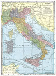
Italy, 1918
A map of Italy in 1918, however, it shows the Italian provinces prior to the resolution of the Italian Irredentist Movement to unite the territories of ethnic Italians under the London Pact of 1915. This map shows the territories of Tyrol, Istria, an...

Taranto, 1919
Taranto is a fortified seaport of southern Italy, in the province of Lecce, on a rocky peninsula at the northern extremity of the gulf of the same name. This map shows neighboring cities, railways, and coastal features of the Gulf of Taranto...

Venice, 1919
A map showing the region around Venice, Italy, in 1919. ...

Naples, 1919
A map of the Bay of Naples. ...

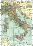
Italy, 1919
A map of Italy in 1919, however, it shows the Italian provinces prior to the resolution of the Italian Irredentist Movement to unite the territories of ethnic Italians under the London Pact of 1915. This map shows the territories of Tyrol, Istria, an...

Italian Irredenta, 1919
A map of northeastern Italy from the Gulf of Panzano (Adriatic Sea) to Gorizia on the River Isonzo during the Italian national Irredentist Movement to unify ethnic Italians of the Austrian Empire after the Treaty of Saint–Germain–en&ndash...

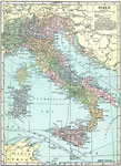
Italy, 1920
A map of Italy in 1920 showing important cities, railways, and submarine cables, and the territories of Trento, Trieste, Istria, and coastal Dalmatia claimed by Italy under the London Pact (1915). "The Kingdom of Italy is divided into Provinces,...

Italy, 1920
A map of Italy in 1920 showing important cities, railways, and submarine cables, and the territories of Trento, Trieste, Istria, and coastal Dalmatia claimed by Italy under the London Pact (1915). The island of Corsica is shown under French control, ...

First Previous Next Last


  Maps > Europe > Italy
Site Map  

Maps ETC is a part of the Educational Technology Clearinghouse
Produced by the Florida Center for Instructional Technology © 2009
College of Education, University of South Florida