Maps Site map
  Maps > Europe > Netherlands
Site Map  

  Record   1   to   7  of   7

Historic and contemporary maps of the Netherlands, including political and physical maps, early empires, and city plans.
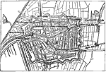
Plan of Leyden, 1600s
Map of Leyden with streets and structures. 1. St. Perer's Church. 2. St. Pancras Church. 3. Town Hall....

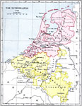
The Netherlands at the Death of Elizabeth, 1603
A map of the Netherlands at the time of the death of Queen Elizabeth in 1603, showing the southern portion retained under Spanish control despite the support of Elizabeth for sovereignty. The map is color–coded to show the northern United Nethe...

Netherlands, 1702
A map of the Netherlands in 1702 at the outbreak of the War of the Spanish Succession. The map is color–coded to show the northern United Netherlands and the southern Spanish Netherlands at the time. The map shows major cities and battle sites,...

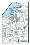
Battlefields of the Netherlands, 1713
A map of the Netherlands in 1713 at the time of the Treaty of Utrecht showing the battlefields of the Spanish War of Succession. The map shows Liege (1702), Antwerp, Dunkirk, and Ramillies (1706), Oudenarde and Lille (1708), Malplaquet (1709), and Ut...

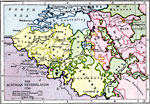
Austrian Netherlands, 1792
A map of the Austrian Netherlands in 1792 at the onset of the French Revolutionary Wars. The map is color–coded to show the territories under Austrian possession, the Ecclesiastical States of the Holy Roman Empire, the United Netherlands, and o...

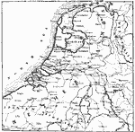
Netherlands, 17th Century
A sketch map of the Low Countries in the Seventeenth Century, showing the Netherlands and Spanish Netherlands, important cities, towns, and ports, rivers, and coastal features of the area....

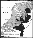
The Portion of the Netherlands that is below Sea Level, 1910
A map of the Netherlands in 1910 showing general elevations and the portions of land below sea level. The map shows water depths of the Zuider Zee less than 20 feet deep, the lands below sea level, areas less than 35 feet above sea level, and areas a...


  Maps > Europe > Netherlands
Site Map  

Maps ETC is a part of the Educational Technology Clearinghouse
Produced by the Florida Center for Instructional Technology © 2009
College of Education, University of South Florida