|
|
|
| Maps > Globes & Multi-Continent > Regional Maps >Regional Mediterranean |
Regional Globes & Multi-Continental maps of the Regional Mediterranean region from the Maps ETC collection. This may include physical and political maps, early history and empires, climate maps, relief maps, vegetation maps, population density and distribution maps, cultural maps, and economic/resource maps.
|
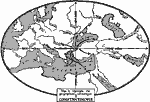
Geographic Situation of Constantinople,
AD 330 |
|
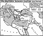
Eastern Roman Empire,
AD 500 |
|
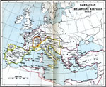
Barbarian and Byzantine Empires,
AD 525 |

|
Byzantine Empire at Death of Justinian,
AD 565 |

|
The Roman Empire,
Circa 800 B.C. |
|
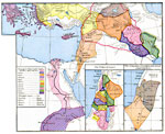
The Kingdoms of Judah and Israel ,
Circa 925 B.C. |
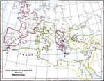
|
The Roman Empire divided into Prefectures,
Circa AD 290 |
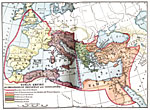
|
Roman Empire as organized by Diocletian and Constantine,
Circa AD 395 |
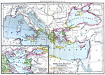
|
Greater Hellas ,
Sixth Century B.C. |

|
Colonial Expansion of the Greeks and Phoenicians,
Sixth Century B.C. |
| First | Previous |
| Maps > Globes & Multi-Continent > Regional Maps >Regional Mediterranean |
Maps
is a part of the
Educational Technology Clearinghouse
Produced by the
Florida Center for Instructional Technology
© 2009
College of Education
,
University of South Florida