|
|
|
| Maps > North America > Regional Maps |
Regional maps of North America, which include several selections of countries and nations displaying physical and political features, economy, discovery, and more.
|
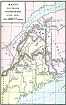
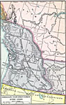
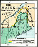
Maine Boundary Controversy,
1782–1842 |
|
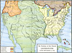
The Territory of the Present United States after September 3,
1783 |
|
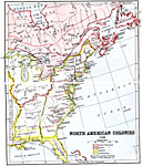
North American Colonies,
1783 |
|
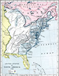
United States of America,
1783 |
|
Oregon Controversy,
1792–1846 |
|
Northwest Territory,
1795 |
|
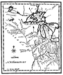
The Maine Boundary Dispute,
1798–1842 |
|
North America,
1800 |
|
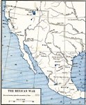
The Mexican War,
1803–1848 |
|
Routes of Lewis and Clark,
1804–1805 |
| First | Previous | Next | Last |
| Maps > North America > Regional Maps |
Maps ETC is a part of the Educational Technology Clearinghouse
Produced by the Florida Center for Instructional Technology © 2009
College of Education, University of South Florida