|
|
|
| Maps > United States > Colorado |
A collection of historic and contemporary political and physical maps of Colorado, including geomorphic and city maps, for use in the K-12 classroom.
|
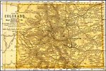
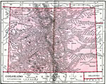
Colorado,
1891 |
|
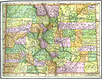
Colorado,
1892 |
|
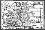
Colorado,
1902 |
|
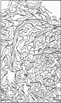
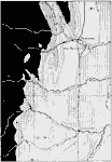
Georgetown District,
1906 |
|
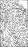
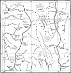
Georgetown District Upland Restored,
1906 |
|
Colorado,
1906 |
|
Colorado,
1909 |
|
Southern Rockies,
1911 |
|
Colorado Front Range,
1911 |
|
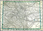
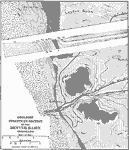
Denver Basin,
1911 |
| Next | Last |
| Maps > United States > Colorado |
Maps ETC is a part of the Educational Technology Clearinghouse
Produced by the Florida Center for Instructional Technology © 2009
College of Education, University of South Florida