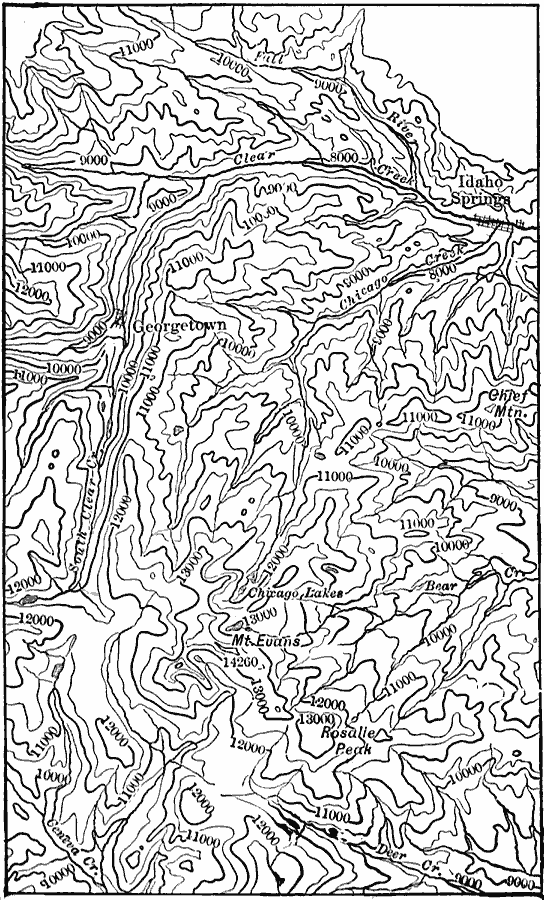
Description: A contour map from a portion of the USGS Georgetown quadrangle (1906) showing the present topography of the Georgetown district of Colorado. Contour intervals are 500 feet.
Place Names: Colorado,
ISO Topic Categories: location,
inlandWaters,
elevation
Keywords: Georgetown District, physical, physical features,
topographical, location,
inlandWaters,
elevation, Unknown, 1906
Source: Isaiah Bowman, Ph. D, Forest Physiography (New York, NY: John Wiley and Sons, 1911) 366
Map Credit: Courtesy the private collection of Roy Winkelman |
|