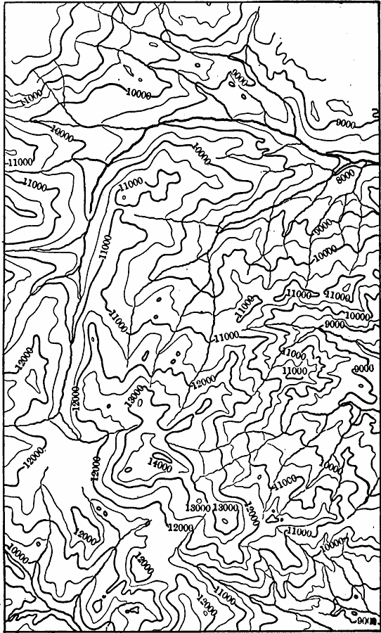
Description: A contour map from a portion of the USGS Georgetown quadrangle (1906) showing the assumed older topography of the Georgetown district of Colorado with older montainous upland features restored. Contour intervals are 500 feet.
Place Names: Colorado,
ISO Topic Categories: geoscientificInformation,
inlandWaters,
location
Keywords: Georgetown District Upland Restored, physical, physical features,
topographical, geoscientificInformation,
inlandWaters,
location, Unknown, 1906
Source: Isaiah Bowman, Ph. D, Forest Physiography (New York, NY: John Wiley and Sons, 1911) 366
Map Credit: Courtesy the private collection of Roy Winkelman |
|