|
|
|
| Maps > United States > Colorado |
A collection of historic and contemporary political and physical maps of Colorado, including geomorphic and city maps, for use in the K-12 classroom.
|
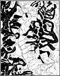
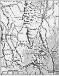
Glacier Systems in Leadville,
1911 |
|
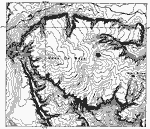
Mesa de Maya,
1911 |
|
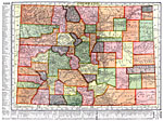
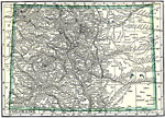
Colorado,
1911 |
|
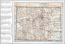
Colorado,
1914 |
|
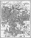
Denver, Colorado,
1914 |
|
Denver and Vicinity,
1916 |
|
Colorado,
1919 |
|
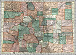
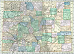
Colorado,
1920 |
|
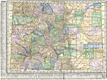
Colorado,
1920 |
|
Colorado,
1920 |
| First | Previous | Next | Last |
| Maps > United States > Colorado |
Maps ETC is a part of the Educational Technology Clearinghouse
Produced by the Florida Center for Instructional Technology © 2009
College of Education, University of South Florida