|
|
|
| Maps > United States > Massachusetts |
A collection of historic and contemporary political and physical maps of Massachusetts, including early exploration and settlement maps, Revolutionary War maps, and automobile route maps.
|
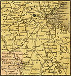
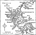
The Vicinity of Boston and Providence,
1858 |
|
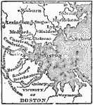
Vicinity of Boston,
1872 |

|
Connecticut River Valley,
1872 |
|
Boston Vicinity,
1883 |
|
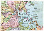
Boston,
1888 |
|
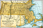
Massachusetts,
1891 |
|
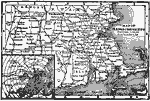
Massachusetts,
1902 |
|
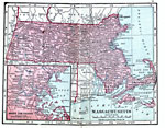
Massachusetts,
1906 |
|
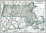
Massachusetts,
1909 |
|
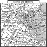
Boston and its vicinity,
1909 |
| First | Previous | Next | Last |
| Maps > United States > Massachusetts |
Maps ETC is a part of the Educational Technology Clearinghouse
Produced by the Florida Center for Instructional Technology © 2009
College of Education, University of South Florida