Maps Site map
  Maps > United States > Massachusetts
Site Map  

  Record   31   to   40  of   113

A collection of historic and contemporary political and physical maps of Massachusetts, including early exploration and settlement maps, Revolutionary War maps, and automobile route maps.
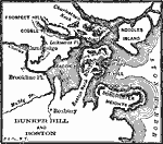
Bunker Hill and Boston, 1911
A map of the Boston Harbor area showing important sites of the opening conflicts of the American Revolution, including the cities of Boston, Charlestown, and Cambridge, Brookline Fort, Fort Hill, and the sites of Bunker Hill, Breeds Hill, Dorchester ...

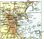
Boston, 1911
A map from 1911 of Boston and vicinity, showing the Charles and Mystic rivers, neighboring cities, major roads, bridges, railroads and stations, and coastal features of the area....

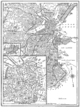
Road Map of Boston , 1914
A map from 1914 of Boston, showing major roads and streets, with railroad and water routes. The map includes inserts of Breed's Island and the business district of Boston....

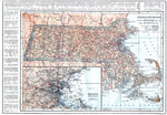
Massachusetts, 1914
A map from 1914 of Massachusetts showing the capital Boston, major cities, towns, and ports, counties and county seats, railroads, mountains, lakes, rivers, and coastal islands and features. An inset map details the vicinity of Boston. A grid referen...

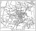
Boston and Vicinity, 1916
A map from 1916 of the vicinity of Boston, extending to Salem, Concord, Natick, Norwood, and Nantasket....

Massachusetts, 1919
A map from 1919 of Massachusetts showing the capital Boston, major cities, towns, and ports, railroads, mountains, lakes, rivers, islands, and coastal features....

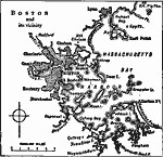
Boston and Vicinity, 1919
A map from 1919 of the vicinity of Boston showing neighboring cities, Boston Harbor, and western Massachusetts Bay from Greater Pig Rocks to Nantasket Beach....

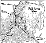
Fall River, Massachusetts, 1919
A road map of Fall River, Massachusetts, from the Official Automobile Blue Book (1919), showing the Taunton River, Mount Hope Bay, North and South Watuppa Pond, major roads, railroads and stations, bridges, the steamer route to New York, parks, and ...

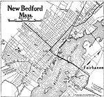
New Bedford, Massachusetts, 1919
A road map of New Bedford, Massachusetts, from the Official Automobile Blue Book (1919), showing the Acushnet River, major roads, railroads and stations, bridges, cemeteries, and major landmarks....

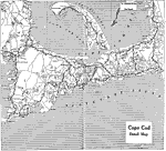
Cape Cod, 1919
A road map of Cape Cod, Massachusetts, from the Official Automobile Blue Book (1919), showing the major roads, towns, beaches, and major landmarks....

First Previous Next Last


  Maps > United States > Massachusetts
Site Map  

Maps ETC is a part of the Educational Technology Clearinghouse
Produced by the Florida Center for Instructional Technology © 2009
College of Education, University of South Florida