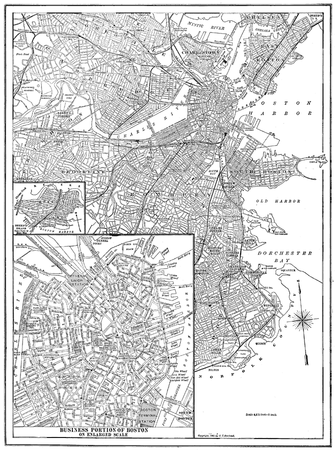
Description: A map from 1914 of Boston, showing major roads and streets, with railroad and water routes. The map includes inserts of Breed's Island and the business district of Boston.
Place Names: Massachusetts, Boston, �Dorchester Bay, �Boston Harbor, �Mystic River, �Charles River,
ISO Topic Categories: transportation,
inlandWaters
Keywords: Road Map of Boston , physical, �transportation, physical features, roads,
railroads,
water routes, transportation,
inlandWaters, Unknown, 1914
Source: , The New Encyclopedic Atlas and Gazetteer of the World (New York, NY: P. F. Collier and Son, 1914) 155
Map Credit: Courtesy the private collection of Roy Winkelman |
|