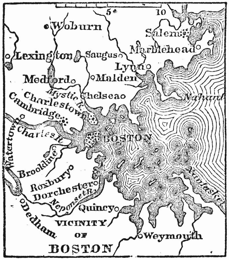
Description: A map from 1872 of Boston, the largest town in New England, and the capital of Massachusetts, situated on a peninsula of an uneven surface, two miles long and about one miles wide, connected with the mainland, on the south, by a narrow neck about forty rods across. The map shows Boston Harbor, neighboring cities and towns, and rivers in the area.
Place Names: Massachusetts, Boston, �Cambridge, �Roxbury, �Lexington, �Marblehead, �Chelse
ISO Topic Categories: inlandWaters,
oceans,
location
Keywords: Vicinity of Boston, political, �physical, physical features, local jurisdictions, inlandWaters,
oceans,
location, Unknown, 1872
Source: Marcius Willson, History of the United States (New York, NY: Ivison, Blakeman, Taylor, and Co., 1872) 74
Map Credit: Courtesy the private collection of Roy Winkelman |
|