|
|
|
| Maps > United States > Meteorology |
A collection of meteorological maps of the United States, including mean annual temperature maps, precipitation records and distribution, and typical storm event patterns.
|
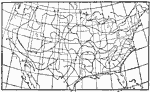
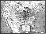
Midsummer Humidity,
July 1896 |
|
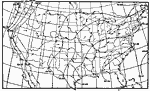
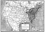
Typical Air Pressure and Wind Direction,
July 1896 |
|
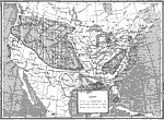
Precipitation Chart,
March 1, 1891–September 25, 1891 |
|
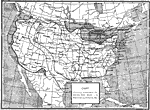
Temperature Departures,
March 1, 1891–September 25, 1891 |
|
Weather Chart,
March 27, 1890 |
|
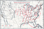
Path of a Hurricane,
September 12–14, 1878 |
|
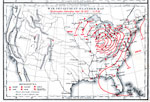
War Department Weather Map,
September 28, 1872 |
|
War Department Weather Map,
September 28, 1872 |
|
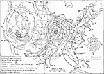
Weather of the United States,
Tuesday November 16, 1909 |
|
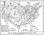
Weather of the United States,
Wednesday, November 17, 1909 |
| First | Previous |
| Maps > United States > Meteorology |
Maps ETC is a part of the Educational Technology Clearinghouse
Produced by the Florida Center for Instructional Technology © 2009
College of Education, University of South Florida