|
|
|
| Maps > United States > Pennsylvania |
A collection of historic and contemporary political and physical maps of Pennsylvania, including geophysical maps and automobile route maps for use in the K-12 classroom.
|
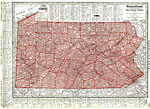
Pennsylvania,
1912 |
|
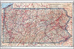
Pennsylvania,
1914 |
|
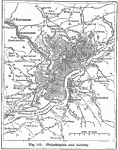
Philadelphia and Vicinity,
1916 |
|
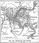
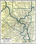
Pittsburg and Vicinity,
1916 |
|
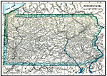
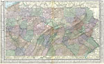
Pennsylvania,
1919 |
|
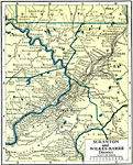
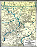
Scranton and Wilkes-Barre District,
1919 |
|
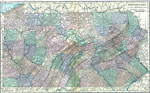
Pittsburgh and Vicinity,
1919 |
|
Pennsylvania,
1920 |
|
Pennsylvania,
1920 |
|
Scranton and Wilkes-Barre,
1920 |
| First | Previous | Next | Last |
| Maps > United States > Pennsylvania |
Maps ETC is a part of the Educational Technology Clearinghouse
Produced by the Florida Center for Instructional Technology © 2009
College of Education, University of South Florida