|
|
|
| Maps > United States > Regional Maps >Old Southwestern States |
|
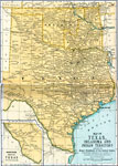
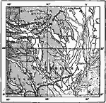
Texas, Oklahoma, and the Indian Territory,
1891 |
|
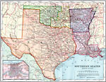
Southern States - Western Division,
1902 |
|
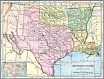
Western Section of the Southern States,
1906 |
|
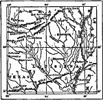
Gulf Coastal Plain,
1911 |
|
Gulf Coastal Plain,
1911 |
|
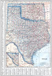
Texas and Oklahoma,
1914 |
|
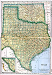
Texas and Oklahoma,
1919 |
| Maps > United States > Regional Maps >Old Southwestern States |
Maps
is a part of the
Educational Technology Clearinghouse
Produced by the
Florida Center for Instructional Technology
© 2009
College of Education
,
University of South Florida