|
|
|
| Maps > United States > Regional Maps >Middle Atlantic States |
|
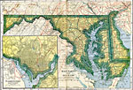
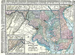
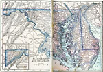
Maryland and Delaware,
1919 |
|
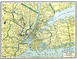
New York City and Vicinity,
1919 |
|
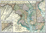
Maryland and Delaware,
1920 |
|
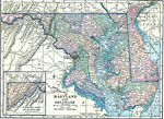
Maryland and Delaware,
1920 |
|
Maryland and Delaware,
1920 |
|
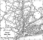
Enlarged Index Map of New York and Vicinity,
1920 |
|
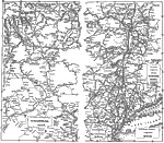
Road Map of Pennsylvania, New York, and Vicinity,
1920 |
|
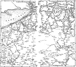
Lake Erie Vicinity,
1920 |
|
Maryland and Delaware,
1922 |
| First | Previous |
| Maps > United States > Regional Maps >Middle Atlantic States |
Maps
is a part of the
Educational Technology Clearinghouse
Produced by the
Florida Center for Instructional Technology
© 2009
College of Education
,
University of South Florida