Maps Site map
  Maps > United States > Regional Maps >Middle Atlantic States
Site Map  

  Record   11   to   20  of   29

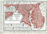
Maryland and Delaware, 1912
Maryland and Delaware, showing counties, physical features, towns, cities, and railroads....

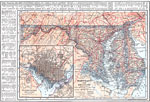
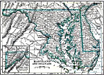
Maryland and Delaware, 1914
Maryland and Delaware, showing physical features with railroad and canal routes. Includes an insert of the Washington D. C. vicinity....

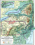
The Middle Atlantic States, 1916
The Middle Atlantic States in 1916, showing physical features and political boundaries. ...

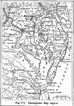
Chesapeake Bay Region, 1916
The Chesapeake Bay region of the United States....

Maryland and Delaware, 1919
Maryland and Delaware in 1919, showing cities and railway routes. ...

Waterways to Baltimore and Washington, 1919
A map from 1919 of the Chesapeake Bar area showing the waterways and railroad network between Baltimore and Washington, and includes the area east of Richmond....

Road Map of New England, 1919
Part of New England in 1919, showing roads. ...

New York and Massachusetts, 1919
New York and Massachusetts in 1919, showing roads. ...

New York and Vermont, 1919
Part of New York and Vermont in 1919, showing roads. ...

New York and Vermont, 1919
Parts of New York and Vermont in 1919, showing roads. ...

First Previous Next Last


  Maps > United States > Regional Maps >Middle Atlantic States
Site Map  

Maps is a part of the Educational Technology Clearinghouse
Produced by the Florida Center for Instructional Technology © 2009
College of Education , University of South Florida