Maps Site map
  Maps > United States > Regional Maps >Middle Atlantic States
Site Map  

  Record   1   to   10  of   29

The Middle States, 1858
The Middle States and part of the Southern states. The capitals of States are represented with a ring of dots around the city dot. County towns are represented by a circle around the dot. Rail roads are double lines with slashes across them, canals a...

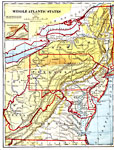
Middle Atlantic States, 1882
Middle Atlantic States....

Maryland, Delaware, and Washington D.C., 1891
Maryland, Delaware, and Washington D.C. ...

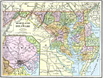
Maryland and Delaware, 1892
Maryland and Delaware, showing railways and counties....

Northeast Region, 1901
The northeastern region of the United States....

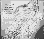
Relief Map of the Middle Atlantic States, 1910
A relief map from 1910 of the Middle Atlantic States showing the terrain features, river systems, and coastal features of New York, Pennsylvania, New Jersey, Delaware, Maryland, Virginia, and West Virginia....

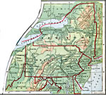
The Middle Atlantic States, 1910
A map from 1910 of the Middle Atlantic States of New York, Pennsylvania, New Jersey, Maryland, Delaware, Virginia, and West Virginia, showing capitals and major cities, terrain, rivers, and coastal features of the region....

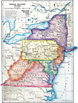
Middle Atlantic States, 1910
The location of New York City, Philadelphia, and Baltimore. ...

New York City and Environs, 1911
New York City and it's surrounding settlements in the early twentieth century. ...

Maryland and Delaware, 1912
Maryland and Delaware. ...

Next Last


  Maps > United States > Regional Maps >Middle Atlantic States
Site Map  

Maps is a part of the Educational Technology Clearinghouse
Produced by the Florida Center for Instructional Technology © 2009
College of Education , University of South Florida