|
|
|
| Maps > United States > Regional Maps >Midwest States |
|
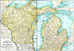
Michigan and Wisconsin,
1891 |

|
Central States,
1899 |
|
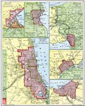
Great Lake Ports,
1901 |
|
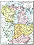
Central States (Eastern),
1901 |
|
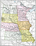
Central States (Western),
1901 |
|
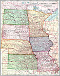
Central States - Western Division,
1902 |
|
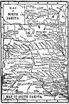
North and South Dakota,
1902 |

|
The Dakotas,
1904 |
|
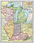
East Central States,
1906 |
|
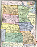
West Central States,
1906 |
| First | Previous | Next | Last |
| Maps > United States > Regional Maps >Midwest States |
Maps
is a part of the
Educational Technology Clearinghouse
Produced by the
Florida Center for Instructional Technology
© 2009
College of Education
,
University of South Florida