|
|
|
| Maps > United States > Texas |
A collection of historic and contemporary political and physical maps of Texas, including climate, vegetation, and geophysical maps, for use in the K-12 classroom.
|
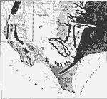
Vegetation of the Texas Region,
1911 |
|
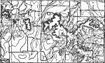
Callaban Divide,
1911 |
|
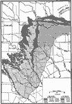
Cross Timbers of Texas,
1911 |
|
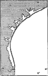
Coastal Features of Texas,
1911 |
|
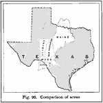
Texas and the New England States,
1916 |
|
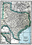
Texas,
1919 |
|
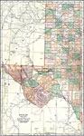
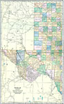
Western Texas,
1920 |
|
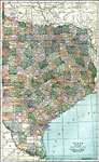
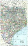
Eastern Texas,
1920 |
|
Western Texas,
1920 |
|
Eastern Texas,
1920 |
| First | Previous | Next | Last |
| Maps > United States > Texas |
Maps ETC is a part of the Educational Technology Clearinghouse
Produced by the Florida Center for Instructional Technology © 2009
College of Education, University of South Florida