Maps Site map
  Maps > United States > Wisconsin
Site Map  

  Record   11   to   19  of   19

A collection of historic and contemporary political and physical maps of Wisconsin, including city plans, geomorphic, and glacial maps, for use in the K-12 classroom.
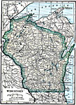
Wisconsin, 1914
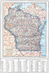
A map from 1914 of Wisconsin showing the capital, Madison, counties and county seats, Indian reservations, principal cities and towns, railroads, lakes, rivers, and shoreline. A grid reference at the bottom of the map lists counties, principal cities...

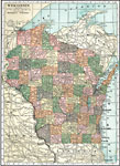
Wisconsin, 1919
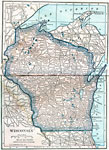
A map from 1919 of Wisconsin showing the capital, Madison, principal cities and towns, Indian reservations, railroads, rivers, and shoreline....

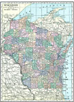
Wisconsin, 1920
A map from 1920 of Wisconsin showing the capital, Madison, counties and county seats, principal cities and towns, railroads, lakes, rivers, and shoreline....

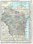
Wisconsin, 1920
A map from 1920 of Wisconsin showing the capital, Madison, counties and county seats, principal cities and towns, railroads, lakes, rivers, and shoreline....

Wisconsin, 1920
A map from 1920 of Wisconsin showing the capital, Madison, counties and county seats, principal cities and towns, railroads, lakes, rivers, and shoreline. A grid reference in the margins of the map lists counties, principal cities, and towns of Wisco...

Wisconsin, 1920
A map from 1920 of Wisconsin showing the capital, Madison, counties and county seats, Indian reservations, principal cities and towns, railroads, lakes, rivers, and shoreline....

Wisconsin, the Badger State, 1921
Wisconsin, showing its capital Madison and other major cities and inland waters. It also has pictorial representations of the state's main industries, some of which are arbutus, rye, barley, condensed milk, iron ore mining, lumbering, flouring mill, ...

Wisconsin, 1922
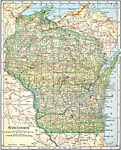
A map from 1922 of Wisconsin showing the capital, Madison, principal cities and towns, Indian reservations, railroads, rivers, and shoreline....

Milwaukee and Vicinity, 1922
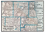
A map from 1922 of Milwaukee and neighboring counties showing county seats, principal cities and towns, railroads, and shoreline features....

First Previous


  Maps > United States > Wisconsin
Site Map  

Maps ETC is a part of the Educational Technology Clearinghouse
Produced by the Florida Center for Instructional Technology © 2009
College of Education, University of South Florida