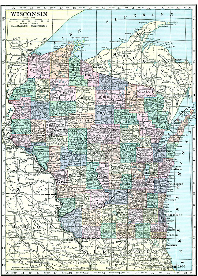
Description: A map from 1920 of Wisconsin showing the capital, Madison, counties and county seats, principal cities and towns, railroads, lakes, rivers, and shoreline.
Place Names: Wisconsin, La Crosse, �Oshkosh, �Milwaukee, �Racine, �Beloit, �Appleton, �Madison, �Mineral Point, �Wausa
ISO Topic Categories: boundaries,
location,
inlandWaters
Keywords: Wisconsin, physical, �political, physical features, county borders, boundaries,
location,
inlandWaters, Unknown, 1920
Source: , Hammond's Modern Atlas of the World (New York, NY: C. S. Hammond and Company, Inc., 1920) 97
Map Credit: Courtesy the private collection of Roy Winkelman |
|