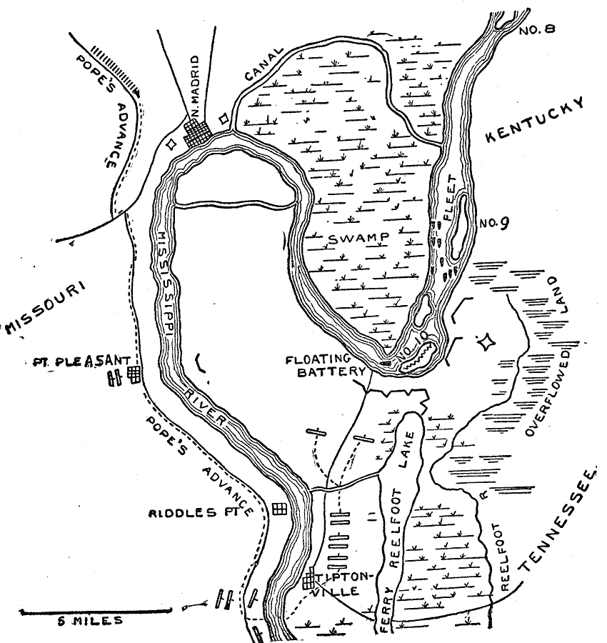
Description: A map of the Mississippi River from New Madrid, Missouri, to Tiptonville at the beginning of the Siege of Island Number 10 near New Madrid in 1862 during the American Civil War. The map shows Confederate and Union military positions, routes of advance, fleet positions, and terrain features.
Place Names: Civil War, New Madrid, Missouri, Point Pleasant, Tiptonville, Island Number 10, Tennesse
ISO Topic Categories: inlandWaters,
location,
transportation
Keywords: New Madrid and Island No. 10, physical, �historical, �transportation, kBattle, physical features, water routes, Civil War, inlandWaters,
location,
transportation, Unknown, March 1862
Source: Theodore Ayrault Dodge, A Bird's-Eye View of our Civil War (Boston, MA: Houghton, Mifflin and Company, 1897) 30
Map Credit: Courtesy the private collection of Roy Winkelman |
|