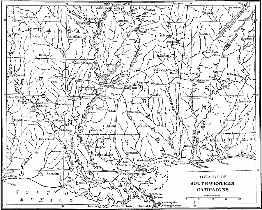
Description: A map showing the theatre of Southwestern Campaigns in the American Civil War. The map includes the northern Gulf Coast and parts of the states of Arkansas, Louisiana, Mississippi, Alabama, and Florida, showing major cities, towns, and ports, railroads, mountain systems, rivers, and coastal features.
Place Names: Civil War, New Orleans, �Baton Rouge, Lake Pontchartrain, Pensacola, Mobile, Greenville, Marion, Selma, Uniontown, Tuscaloosa, Centerville, Montgomery, Jackson, Grenada, Coffeeville, Louisville, Philadelphia, Macon, Meridian, Monticello, Fayette, Natchez, Tulip,
ISO Topic Categories: location,
inlandWaters,
transportation,
oceans,
boundaries
Keywords: Theatre of Southwestern Campaigns, physical, �historical, �transportation, �theatre of southwestern campaigns, �political, physical features, major political subdivisions, railroads, Civil War, location,
inlandWaters,
transportation,
oceans,
boundaries, Unknown, 1861–1865
Source: Theodore Ayrault Dodge, A Bird's-Eye View of our Civil War (Boston, MA: Houghton, Mifflin and Company, 1897) 82-83
Map Credit: Courtesy the private collection of Roy Winkelman |
|