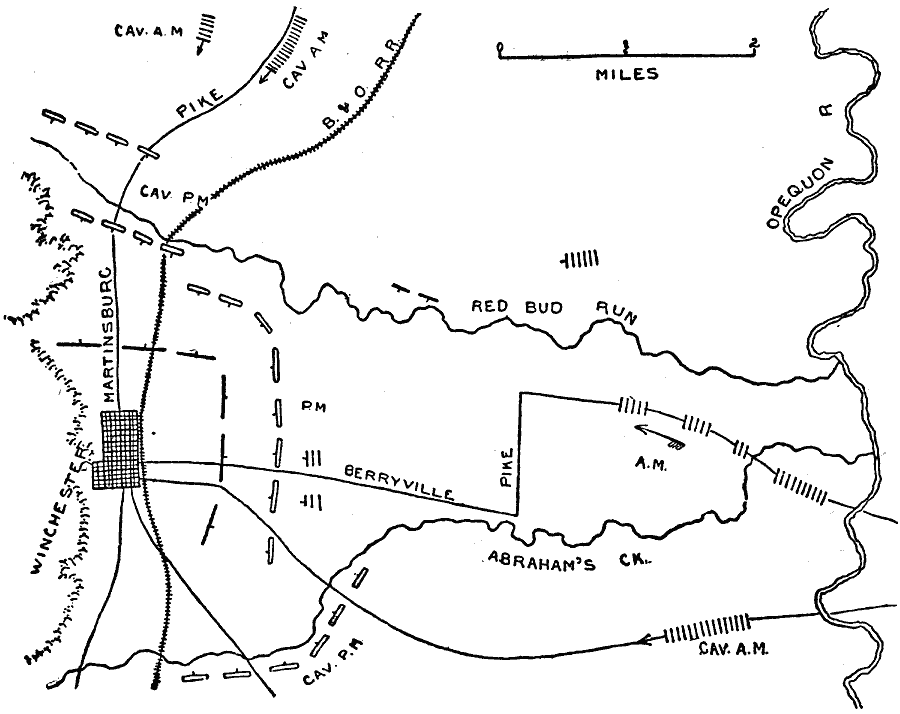
Description: A map of Winchester, Virginia and the surrounding region, site for the Battle of Opequon, also known as the Third Battle of Winchester. Map shows September 19, 1864.
Place Names: Civil War, Martinsburg Pike, Winchester, Berryville Pike, Abraham's Creek, Oqequon River, B And O Railroad, Red Bud Ru
ISO Topic Categories: inlandWaters,
location,
transportation
Keywords: Winchester, physical, �political, �historical, �transportation, �american civil war, battle of opequon, third battle of winchester, kBattle, physical features, roads,
railroads, Civil War, inlandWaters,
location,
transportation, Unknown, September 19, 1864
Source: Theodore Ayrault Dodge, A Bird's-Eye View of our Civil War (Boston, MA: Houghton, Mifflin and Company, 1897) 272
Map Credit: Courtesy the private collection of Roy Winkelman |
|