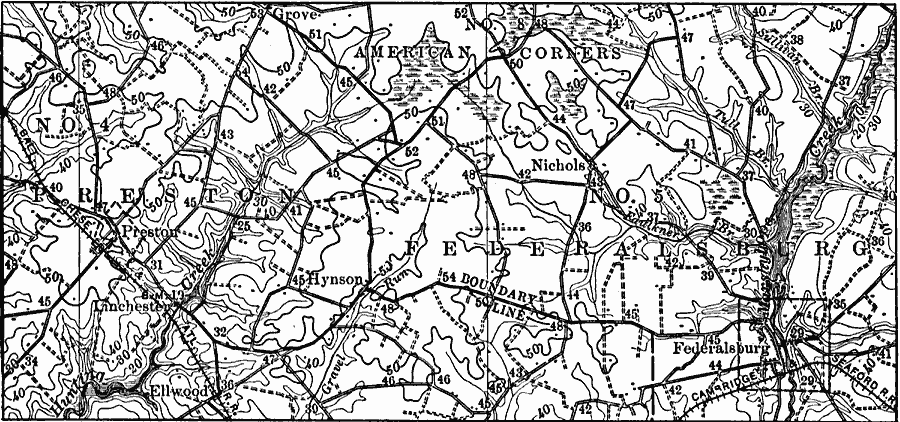
Description: A contour map of eastern Maryland showing the landform features of the swampy divides between the Chesapeake and the Atlantic. The coastal plain is here so young and so little dissected that many of the original irregularities have not yet been destroyed.
Place Names: Maryland, Nichols, �Federalsburg, �Lanchester, �Ellwood, �Grov
ISO Topic Categories: boundaries,
biota,
inlandWaters,
location
Keywords: Swampy Divides in Maryland, political, �physical, physical features, local jurisdictions, boundaries,
biota,
inlandWaters,
location, Unknown, 1911
Source: Isaiah Bowman, Ph. D, Forest Physiography (New York, NY: John Wiley and Sons, 1911) 517
Map Credit: Courtesy the private collection of Roy Winkelman |
|