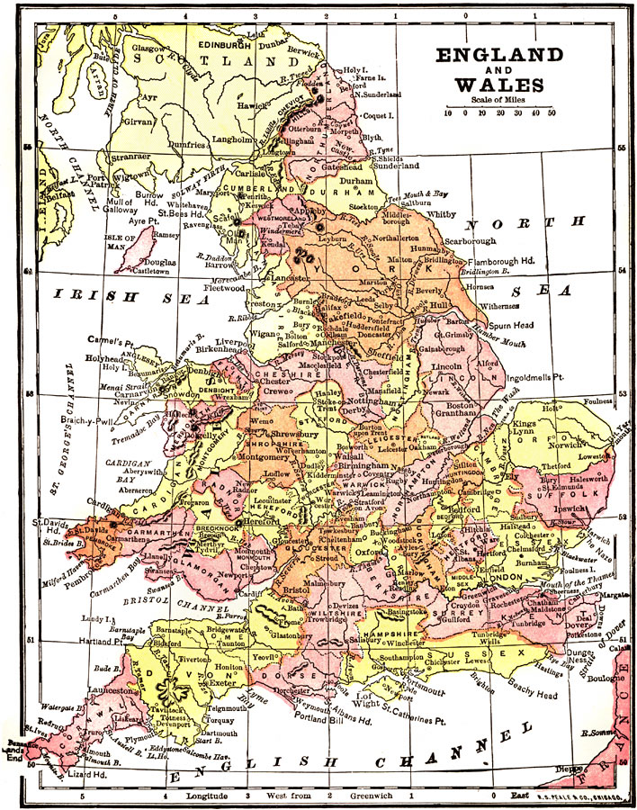
Description: A map of Great Britain from 1904. "Great Britain – The island now known as Great Britain was known to the ancients previous to the date at which its written history begins, the Phoenicians, Carthaginians and Massilians having visited its shores in their trading vessels. It is not, however, until the year 55 B.C., that its real history commenced, with the conquest of the country by Julius Caesar, and the establishment there of the Roman rule, which lasted until A.D. 420, when the pressure of Rome's enemies caused the withdrawal of the legions from Britannia– the name which Caesar gave to the island in the stead Albion, by which it had formerly been known." — Wark 1904
Place Names: United Kingdom, London, �Wales, �York, �Scotland, �Suffolk, �Sussex, �Cornwall, �Leicester, �Montgomery, �Shrewsbury, �Liverpool, �Cardiga
ISO Topic Categories: society
Keywords: England and Wales, physical, �political, physical features,
topographical, country borders,
major political subdivisions, society, Unknown, 1904
Source: Henry Wark, ed. , Wark's Modern Educator (New York, NY: Henry Wark, 1904) 907
Map Credit: Courtesy the private collection of Roy Winkelman |
|