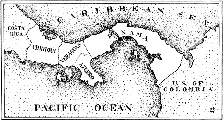
Description: A map from 1906 of the Isthmus of Panama showing the railroad from Colon to the city of Panama, the projected route of the canal, the provinces of Panama at the time (Chiriqui, Veraguas, Azuero, and Panama), and the borders with Costa Rica to the north and the United States of Columbia to the south.
Place Names: Panama, Chiriqui, �Veraguas, �Azuero, �Caribbean Sea, �Pacific Ocean, �Panama Canal, �Panama Railway, ���Panama, �Colo
ISO Topic Categories: boundaries,
oceans
Keywords: Panama, physical, �political, �transportation, physical features, country borders,
major political subdivisions, railroads,
water routes, boundaries,
oceans, Unknown, 1906
Source: L. Brent Vaughn, Hill's Practical Reference Library of General Knowledge Volume III (New York, NY: Dixon, Hanson & Company, 1906)
Map Credit: Courtesy the private collection of Roy Winkelman |
|