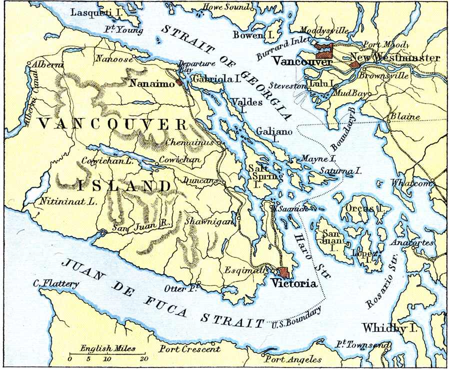
Description: A map from 1911 of the southern end of Vancouver Island (from the Alberni Canal to Victoria), the Strait of Georgia, Juan de Fuca Strait, and the vicinity of the cities of Vancouver and New Westminster. The map shows trunk and secondary railways, ports, major cities and towns, terrain and coastal features, islands, and the International boundary.
Place Names: Canada, Vancouver, �Vancouver Islan
ISO Topic Categories: society
Keywords: Southern Vancouver Island, physical, physical features,
topographical, society, Unknown, 1911
Source: Ernest Rhys, Ed., A Literary and Historical Atlas of North & South America (New York, NY: E.P. Dutton & CO., 1911) 73
Map Credit: Courtesy the private collection of Roy Winkelman |
|