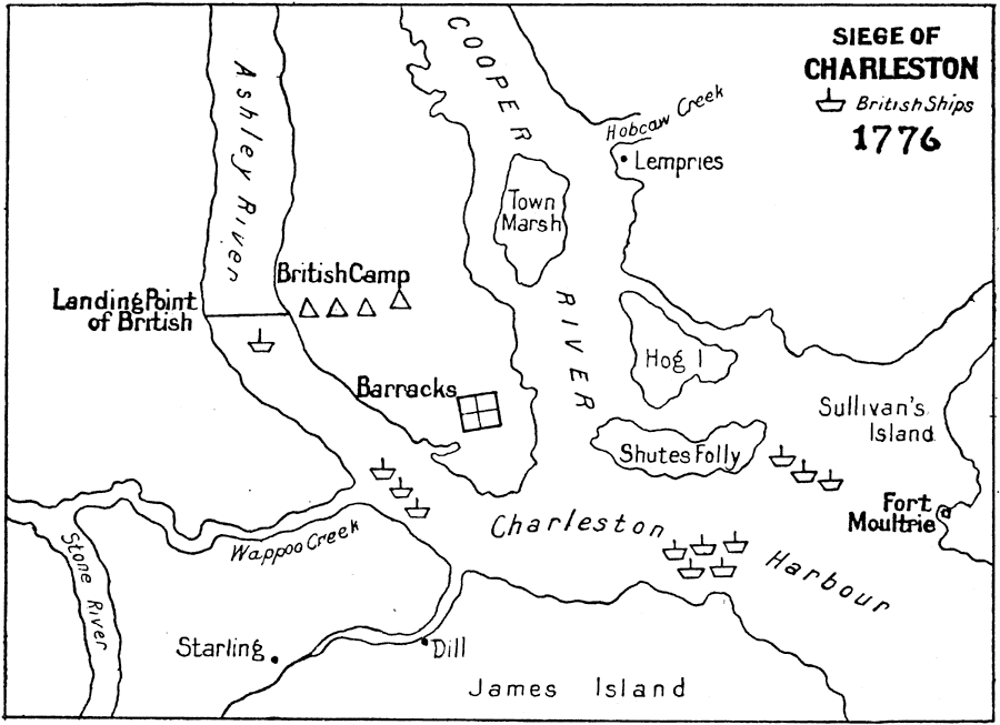
Description: A sketch map of the Charleston Harbor area showing the first British siege of Charleston in 1776, also known as the Battle of Sullivan's Island (June 28, 1776). The map shows the positions of the British ships, the landing site north of Charleston on the Ashley River, the British camps, the barracks, and the American Fort Moultrie on Sullivan's Island, site of the battle.
Place Names: Early America 1400-1800, Charleston, �American Revolutio
ISO Topic Categories:
Keywords: Siege of Charleston, historical, kAmericanRevolution, American Revolution, Unknown, 1776
Source: Ernest Rhys, Ed., A Literary and Historical Atlas of North & South America (New York, NY: E.P. Dutton & CO., 1911) 118
Map Credit: Courtesy the private collection of Roy Winkelman |
|