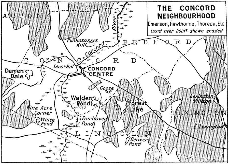
Description: A map of the vicinity of Concord, Massachusetts, during the Transcendentalism Movement around 1830 to 1880. The map shows the important sites related to the works of Ralph Waldo Emerson, Henry David Thoreau, Nathaniel Hawthorne, Bronson Alcott, Louisa May Alcott, and others, including Walden Pond, Lexington Village, and Forest Lake.
Place Names: Massachusetts, Concord, �Virginia, �Lexington, �Lincoln, �Bedfor
ISO Topic Categories: society
Keywords: The Concord Neighbourhood, transportation, kLiterature, roads, society, Unknown, 1830–1880
Source: Ernest Rhys, Ed., A Literary and Historical Atlas of North & South America (New York, NY: E.P. Dutton & CO., 1911) 131
Map Credit: Courtesy the private collection of Roy Winkelman |
|