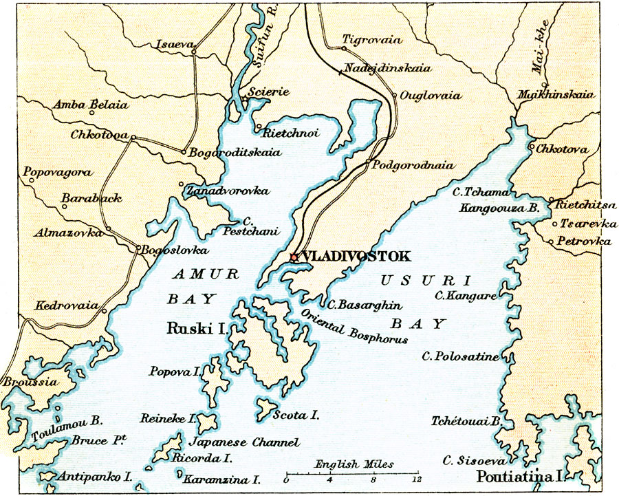
Description: A map from 1912 of the area around the Russian port of Vladivostok on the southern tip of the Muravyov–Amursky Peninsula, between Amur Bay and Usuri Bay. Vladivostok is the eastern terminus of the Trans–Siberian Railway and an important port with access to Moscow to the west and the Pacific Ocean. The map shows the railway, major roads, cities and ports along the bays, rivers, islands and coastal features.
Place Names: Russia, Vladivosto
ISO Topic Categories: society,
transportation
Keywords: The Environs of Vladivostok, political, �transportation, railroads, society,
transportation, Unknown, 1912
Source: Ernest Rhys, Ed., A Literary and Historical Atlas of Asia (New York, NY: E.P. Dutton & CO., 1912) 96
Map Credit: Courtesy the private collection of Roy Winkelman |
|