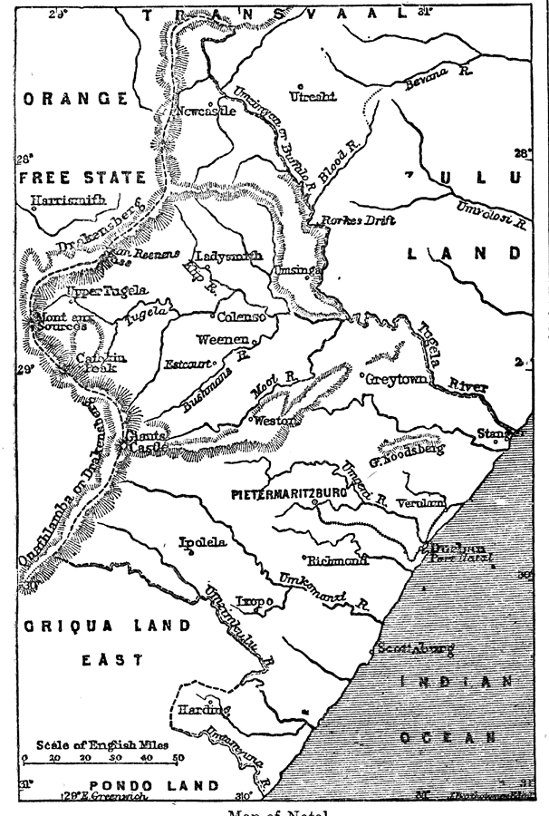
Description: A map of the British colony of Natal, which is located in the northeastern part of what is now South Africa. This map shows boundaries, cities, rivers, and topography. "Natal, a British colony on the south–east coast of Africa, situated nearly between 29° and 32° E. long., is bounded on the N.E. by Zululand and the Transvaal, on the S.E. by the Indian Ocean, on the N.W. by the Orange Free State and the Transvaal, and on the S.W. by Basutoland, Griqualand East, and the country of the Pondas. It is of an irregular diamond shape, with a length of about 270 miles from north to south, and a breadth of 170 miles from east to west. The extent of sea–coast is about 150 miles, and its area is about 17,00 square miles, or 11,000,000 acres (one–third of the sized of England)." —Kellogg, 1903
Place Names: South Africa, Natal, �Indian Ocean, �Pietermaritzbur
ISO Topic Categories: boundaries,
oceans,
inlandWaters
Keywords: Map of Natal, physical, �political, physical features,
topographical, country borders, boundaries,
oceans,
inlandWaters, Unknown, 1903
Source: Day Otis Kellogg, Encyclopædia Britannica Vol. XVII (New York, NY: Werner Company, 1903) 240
Map Credit: Courtesy the private collection of Roy Winkelman |
|
