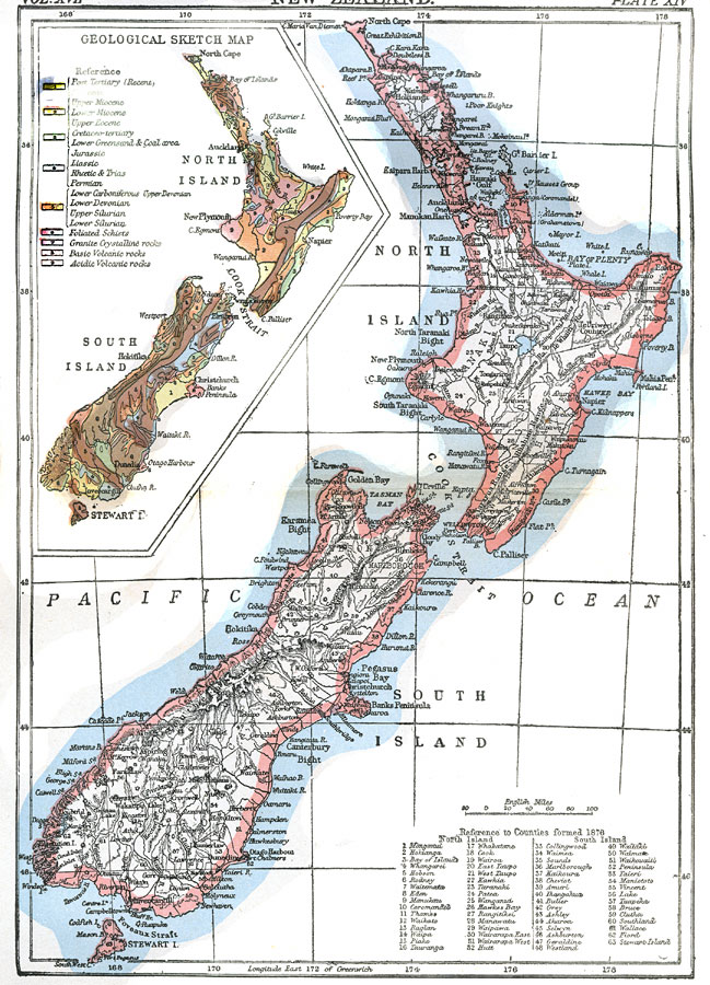
Description: A map of New Zealand from 1903 showing counties, cities, mountain ranges, rivers, and railroads. The map has a reference key for locating the 63 counties established in 1876. The map includes a color–coded inset map showing the geological areas of the country by geologic era and rock types.
Place Names: New Zealand, Wellington, �New Plymouth, �Auckland, �Cook Strait, �Pacific Ocea
ISO Topic Categories: geoscientificInformation,
boundaries,
inlandWaters,
oceans,
transportation
Keywords: New Zealand, physical, �political, �transportation, physical features,
topographical,
geological, county borders, railroads, geoscientificInformation,
boundaries,
inlandWaters,
oceans,
transportation, Unknown,1903
Source: Day Otis Kellogg, Encyclopædia Britannica Vol. XVII (New York, NY: Werner Company, 1903) 466
Map Credit: Courtesy the private collection of Roy Winkelman |
|