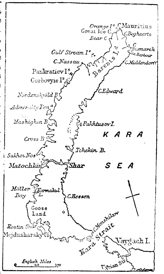
Description: A sketch map from 1903 of the Russian islands of Nova Zembla (Novaya Zemlya) in the Arctic Ocean. Nova Zembla is an archipelago separated from the continent by the Kara Strait, with the two main islands, the northern Barents Land (Severny) and southern Goose Land (Yuzhny), separated by the narrow Matochkin Shar (Matochkin Strait). Coastal features are shown, and the Kara Sea, landward of the Arctic Ocean.
Place Names: Russia, Nova Zembla, �Kara Sea, �Kara Strait, �Arctic Ocea
ISO Topic Categories: oceans
Keywords: Nova Zembla, physical, physical features, oceans, Unknown,1903
Source: Day Otis Kellogg, Encyclopædia Britannica Vol. XVII (New York, NY: Werner Company, 1903) 604
Map Credit: Courtesy the private collection of Roy Winkelman |
|